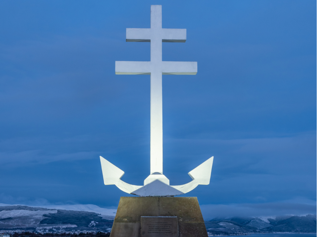
Lyle Hill
Inverclyde
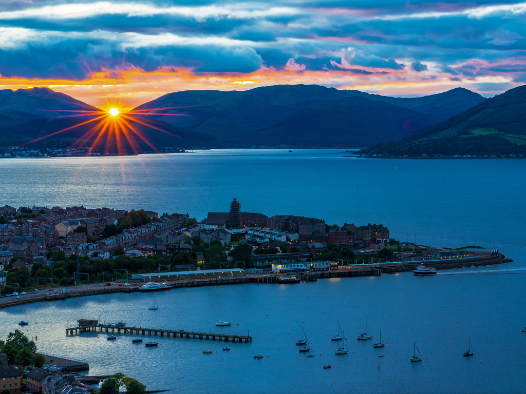
Inverclyde